Salina Post
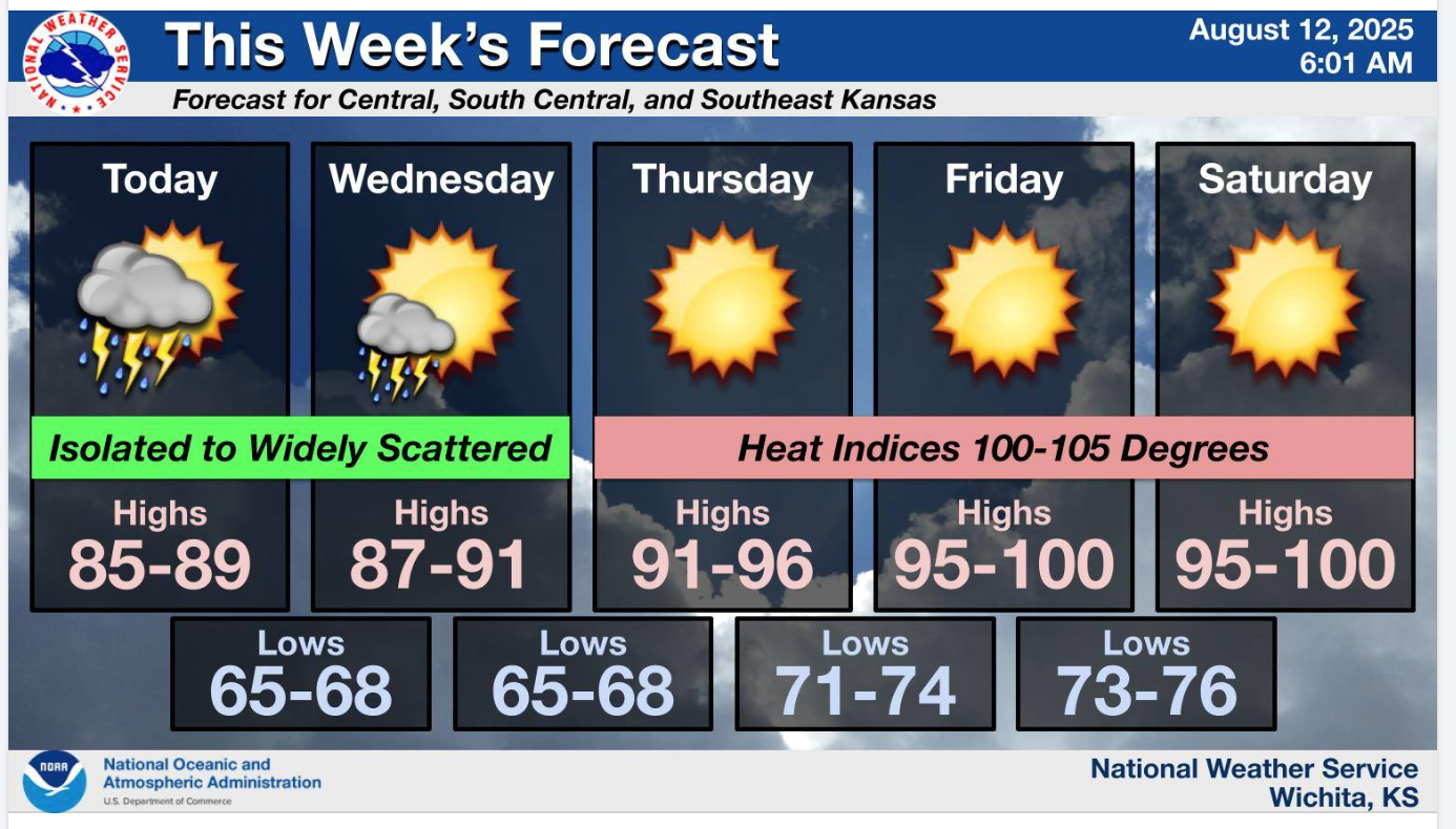
After isolated scattered storms until Wednesday, heat indices are expected to reach back up to the 100's from Thursday and into the weekend in Central Kansas.
According to the US National Weather Service, isolated to widely scattered thunderstorms will remain possible areawide on Tuesday and over southeast Kansas till Wednesday.
A return to triple digit heat indices is expected by Thursday and persisting through at least the weekend.
Monitor local weather updates frequently in multiple ways by listening to the NOAA Weather Radio, checking local news and emergency notifications. You can also stay informed by following Saline County and the National Weather Service on social media.
For the latest forecast updates, visit the National Weather Service Wichita office at https://www.weather.gov/ict/. To check forecasts frequently, go to weather.gov.