Salina Post
The US National Weather Service has issued a flood warning for Saline County, that has officially taken into effect now and will remain until Wednesday of this week.
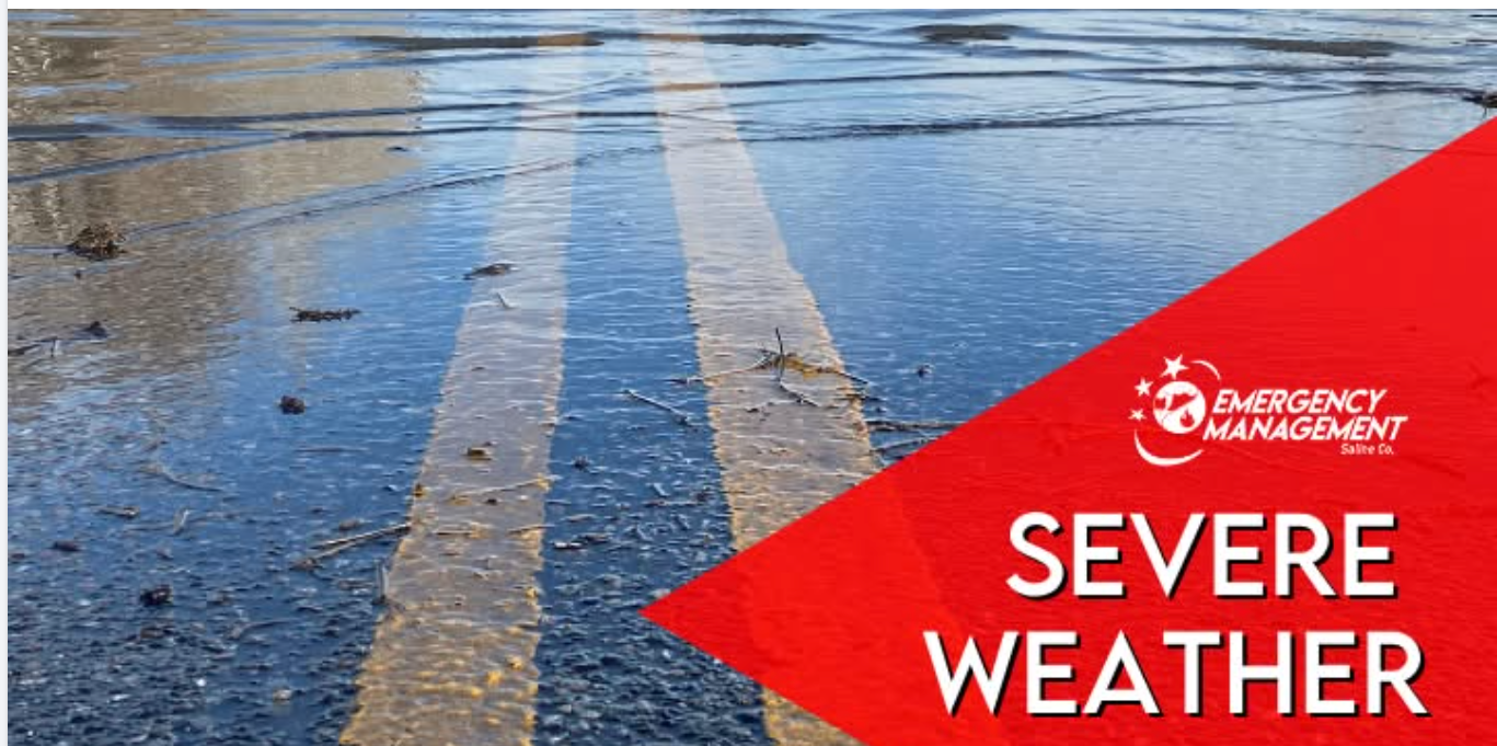
According to Saline County Emergency Management, water levels for rivers and creeks have continued to rise from Monday's heavy rainfall. It was estimated between 4 to 10 inches of rain have already fallen across the county, leading to flooded roadways in Brookville and many rural routes that are waterlogged or impassable.
Additional rainfall is expected to occur late tonight (Monday, September 8) into Tuesday morning. Scattered showers and storms are possible, mainly east of Saline County.
Moreover, additional showers and storms are expected to develop from the west on Tuesday night into Wednesday morning, bringing extra heavy rainfall.
Then late Wednesday night into Thursday morning, another round of storms are possible.
Residents are urged to avoid unnecessary travel, allow extra time for commutes and use alternate routes where needed.
Mulberry Creek near Salina:
Expected to crest at 26.5 feet late tonight into Tuesday afternoon (Moderate Flood Stage). At this level, widespread agricultural flooding is expected. If high flow continues on the Saline River, water could back up on Mulberry Creek, flooding properties including the KOA campground.
Smoky Hill near New Cambria:
Expected to crest at 26.6 feet late Wednesday morning or early afternoon (Minor Flood Stage).
Safety Recommendations:
- TURN AROUND, DON'T DROWN - never attempt to drive through flooded roads.
- Know your risk. Check if your home or workplace is in a flood-prone area.
- Have an emergency kit ready with essentials: water, food, medications, flashlight, batteries, and important documents.
- Stay out of floodwaters. They can hide debris, downed power lines, or dangerous currents.
- Avoid walking through moving water; as little as six inches can knock an adult off their feet.
- Secure outdoor items that could become airborne due to high winds.
- Avoid unnecessary travel during periods of severe weather, especially if snow reduces visibility.
- Monitor local weather updates frequently and have multiple ways to receive weather alerts, including NOAA Weather Radio, local news, and emergency notifications.
Monitor local weather updates frequently in multiple ways by listening to the NOAA Weather Radio, checking local news and emergency notifications. You can also stay informed by following Saline County and the National Weather Service on social media.
For the latest forecast updates, visit the National Weather Service Wichita office at https://www.weather.gov/ict/. To check forecasts frequently, go to weather.gov.