Colder and wet are on the way.
Much colder temperatures will move southeast across the area on Tuesday, with widespread showers expected across central Kansas. A few severe storms will be possible over southeast Kansas, before the colder air arrives.
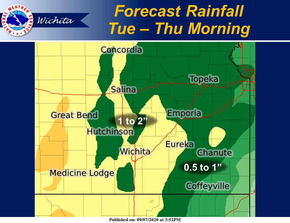
According to the National Weather Service (NWS) in Wichita, we have chances of rain from Tuesday through Thursday morning. Widespread rain amounts of an inch or more are expected, with areas west of the Kansas Turnpike possibly seeing 1 to 2 inches, NWS noted.
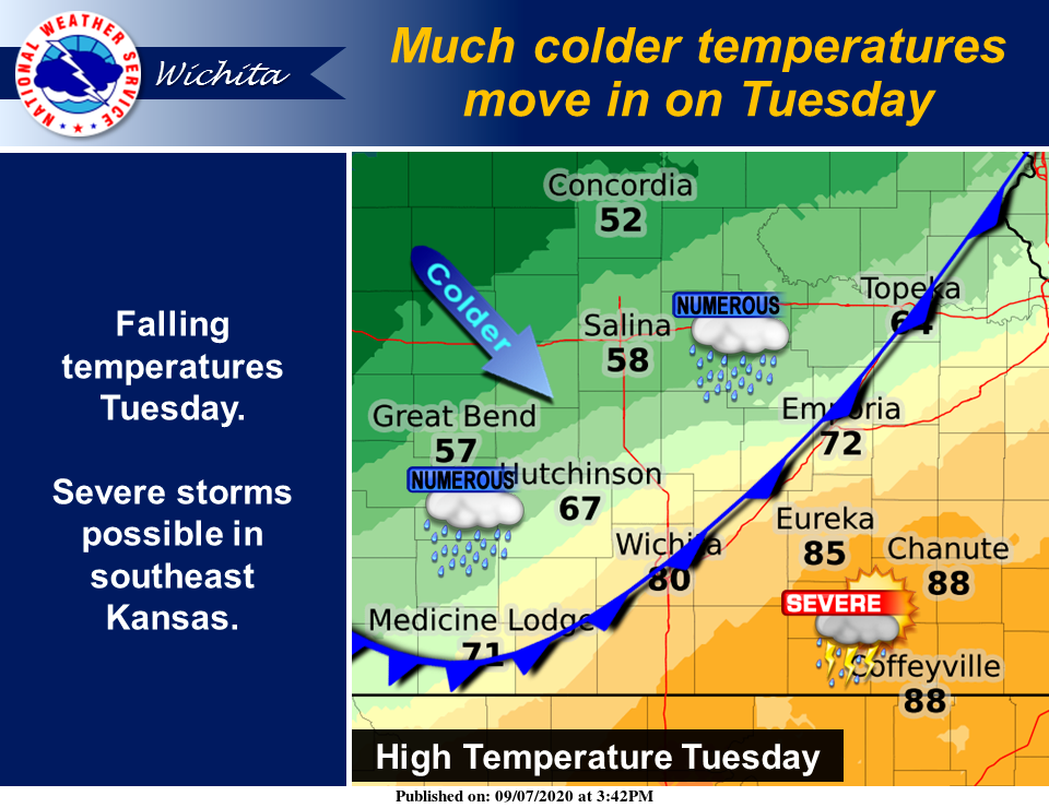
Early morning highs on Tuesday are expected to be in the 60s, with temperatures falling into the 50s by the afternoon, according to NWS. The only exception will be over southeast Kansas, which will still climb into the middle 80s.
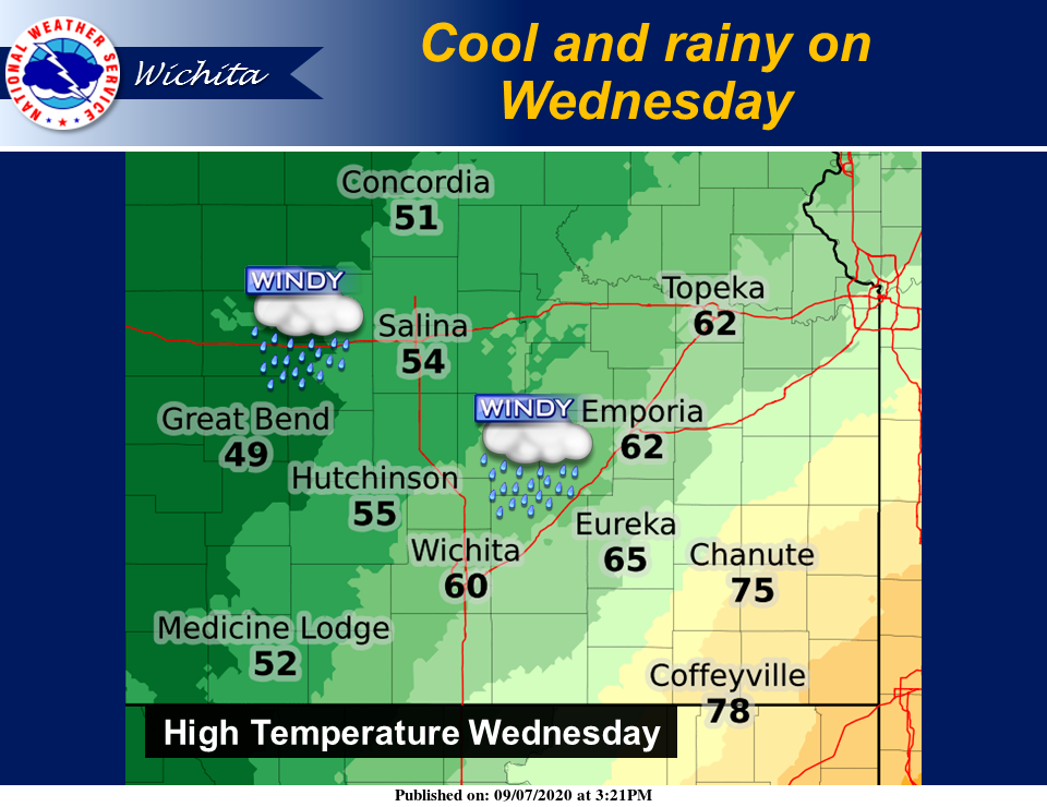
Unseasonably cool and rainy conditions are expected on Wednesday, NWS noted. Off and on rain showers are expected with windy conditions. Highs will struggle to make it out of the 60s for most locations, except southeast Kansas, NWS added.