READ: Severe thunderstorm watch issued for several counties in area
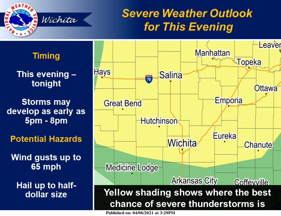
Severe storms appears likely for this evening and tonight, according to the National Weather Service in Wichita.
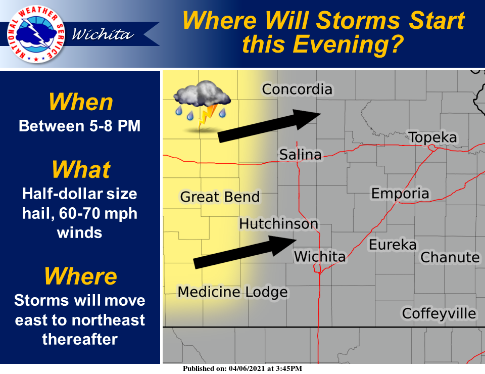
Isolated to scattered thunderstorms are expected to develop across central portions of Kansas between 5 and 8 p.m. Tuesday and then move east to northeast.
The weather service explained that the main threats will be hail up to half-dollar size and 60 to 70 mph winds. The large hail threat should be highest before 9-10 p.m., with more of a wind threat thereafter. At this time, the tornado threat looks very low, the weather service noted.
To see whether storms are headed your way, check out the Salina Post severe weather page. Click here.