UPDATE: The urban and small stream flood advisories have been allowed to expire.
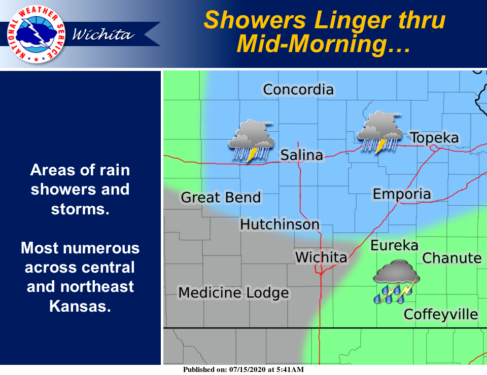
A flood warning and flood advisories have been issued for parts of our area.
The National Weather Service (NWS) in Wichita has issued a flood warning in effect until 11:30 a.m. Wednesday for Lincoln County.
At 5:43 a.m. CDT, Doppler radar indicated an area of rain with embedded thunderstorms that continued to affect the warned area. Though the rainfall will end by mid-morning, excess runoff may result in minor lowland flooding.
Additionally, NWS in Topeka has issued an urban and small stream flood advisory in effect until 7:45 a.m. Wednesday for Republic and Cloud counties.
At 4:49 a.m. CDT, Doppler radar indicated heavy rain due to thunderstorms. This will cause urban and small stream flooding in the advisory area. Up to two inches of rain have already fallen.
NWS in Hastings, Neb., has issued an urban and small stream flood advisory in effect until 8 a.m. Wednesday for Mitchell County and eastern Jewell County.
At 3:29 a.m. CDT, an automated rain gauge in Hunter reported just over 2 and a half inches of rainfall since midnight CDT. Additional rainfall is expected across portions of north central Kansas through 8 a.m. CDT, with widespread rainfall accumulations of one to three inches expected across the advised area. Isolated rainfall totals of 4 to 5 inches will be possible. This will result in low land flooding, rises in small streams and creeks, and flooding of poor drainage areas.