UPDATE: THE WINTER WEATHER ADVISORIES HAVE BEEN UPDATED. PLEASE SEE BELOW.

Winter weather advisories have been issued for counties in our area.
For road conditions, go to kandrive.org or call 5-1-1 or 1-866-511-KDOT (5368).
The National Weather Service (NWS) in Wichita has issued a winter weather advisory in effect from 7 p.m. Sunday to 7 p.m. Monday for the following counties in our area.
Ellsworth County
Lincoln County
Saline County
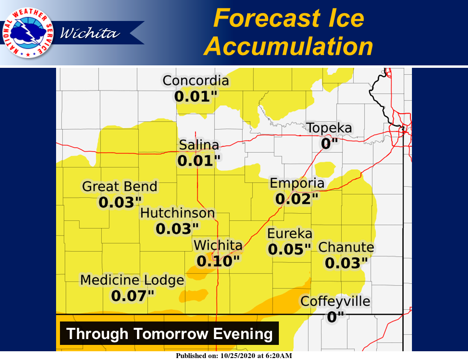
According to NWS, freezing rain will transition to a wintry mix and then transition to all snow by around midnight. Total snow accumulations of two to five inches and ice accumulations of a light glaze.
Plan on slippery road conditions. The hazardous conditions could impact the morning commute. Slow down and use caution while traveling.
Falling temperatures will lead to a hard freeze for most locations by Monday night. Persons with cold sensitive plants should take precautions now.
NWS in Wichita has issued a winter weather advisory in effect from 7 p.m. Sunday to 1 a.m. Tuesday for McPherson County.
Freezing rain will transition to a wintry mix and then transition to all snow by around midnight. Total snow accumulations of two to four inches and ice accumulations of a light glaze.
Falling temperatures will lead to a hard freeze for most locations by Monday night. Persons with cold sensitive plants should take precautions now.
NWS in Wichita also has issued a winter weather advisory in effect from 1 a.m.-1 a.m. Tuesday for Marion County.
A mix of snow, sleet, and freezing rain is expected. Total snow and sleet accumulations of up to two inches and ice accumulations of around one tenth of an inch are forecast, according to NWS.
Plan on slippery road conditions. The hazardous conditions could impact the morning commute. Slow down and use caution while traveling.
Falling temperatures will lead to a hard freeze for most locations by Monday night. Persons with cold sensitive plants should take precautions now.
A winter weather advisory remains in effect until 7 a.m. Monday for the following counties in our area, according to NWS in Hastings, Neb.
Jewell County
Mitchell County
Snow, possibly mixed with freezing drizzle before midnight. Additional snow accumulations of 1 to 3 inches. A light glaze of ice ice possible. Winds gusting up to 30 mph from the north, causing reduced visibility in falling snow, and possibly some drifting.
Plan on slippery road conditions. The hazardous conditions could impact the Monday morning commute. In addition, wind chills Sunday night into Monday morning will tumble to around zero degrees for the first time this season.
Additionally, NWS notes to expect at least minor forecast adjustments and that it is possible that especially southern parts of the area could see a little snow linger beyond 7 a.m. Monday.
Slow down and use caution while traveling.
NWS in Topeka has issued a winter weather advisory in effect from 7 p.m. Sunday to 7 p.m. Monday for the following counties in our area.
Clay County
Cloud County
Dickinson County
Ottawa County
Republic County
Mixed precipitation expected. Total snow accumulations of 1 to 4 inches and ice accumulations of a light glaze.
Plan on slippery road conditions. The hazardous conditions could impact the morning commute. Slow down and use caution while traveling.
A hard freeze is expected with low temperatures Monday night into Tuesday morning in the lower to middle 20s.