 Winter weather, wind, a catastrophic grassland fire danger, and thunderstorms with heavy rain...just another few days in Kansas.
According to the National Weather Service (NWS) in Wichita, a mix of light freezing drizzle and snow is possible for primarily Lincoln, Russell, and Barton counties this evening. Little if any ice accumulations are expected, and snow accumulations should be less than in inch.
Extreme to catastrophic grassland fire danger will affect south central and southeast Kansas Tuesday afternoon through Tuesday night. A red flag warning is in effect.
Strong gusty winds will affect much of the region Tuesday afternoon through tonight. A high wind warning and a wind advisory are in effect over the region.
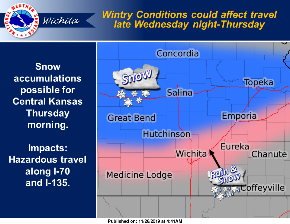
There's a better chance for snow or a rain-snow mix late Wednesday night through Thursday morning. At this time, central Kansas has the best chance for some snow accumulations, NWS noted. Lots of uncertainty exists with this snow chance, so persons with travel plans early Thursday should pay attention for later updates and possible advisories.
Friday, there will be a chance for a few strong thunderstorms and heavy rainfall across the region.