
Another winter storm is moving into the state today and with it come new winter weather advisories.
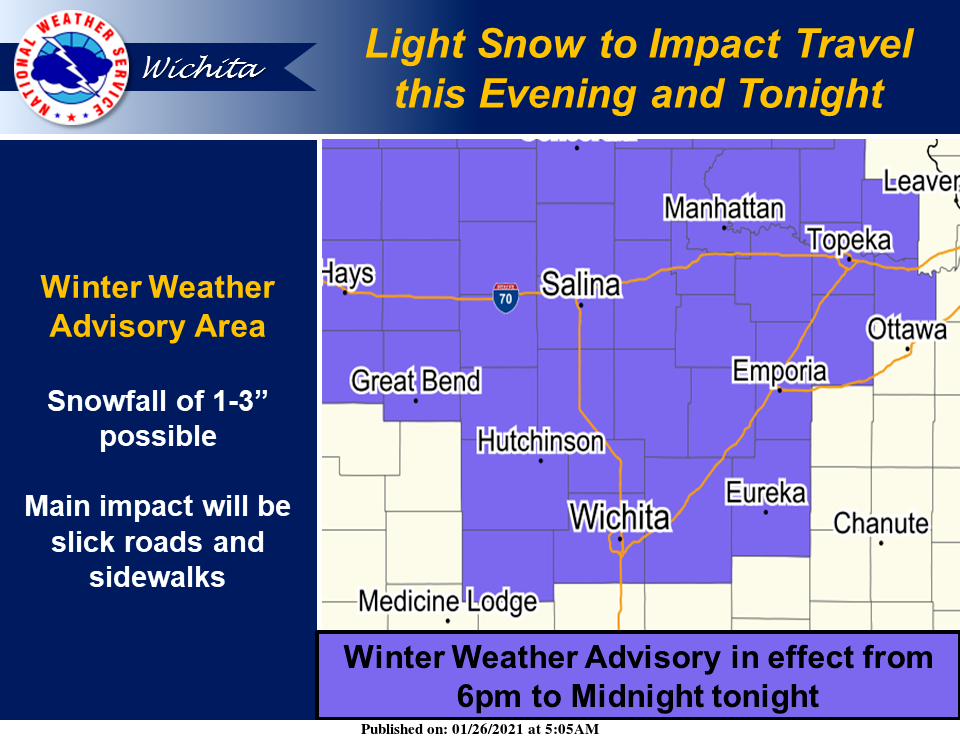
The National Weather Service (NWS) in Wichita has issued a winter weather advisory in effect from 6 p.m. Tuesday to 6 a.m. Wednesday for the following counties in our area.
Marion County
McPherson County
Snow is expected. Total snow accumulations of one to two inches, with higher amounts near three inches are possible. Snowfall rates up to a half an inch per hour are possible.
Plan on slippery road conditions. The hazardous conditions will impact the evening commute today and the morning commute Wednesday. Slow down and use caution while traveling.
NWS in Wichita also has issued a winter weather advisory in effect from 6 p.m. Tuesday to 6 a.m. Wednesday for the following counties in our area.
Ellsworth County
Lincoln County
Saline County
Snow is expected. Total snow accumulations of one to three inches, with higher amounts near four inches are possible.
Additionally, wind chill values of zero to five degrees below zero are forecast.
Plan on slippery road conditions. The hazardous conditions will impact the evening commute today and the morning commute Wednesday.
NWS in Hastings, Neb., has issued a winter weather advisory in effect from 6 p.m. Tuesday to 6 a.m. Wednesday for the following counties in our area.
Jewell County
Mitchell County
Snow is expected. Total snow accumulations of generally around 2 inches, but with localized higher amounts around 3 inches are possible. Winds will only average around 10 mph.
Although this snow event will not be nearly as significant as the one that occurred Monday in most of the area, evening and overnight travel could be impacted. Plan on slippery road conditions, and be prepared for a few more inches of snow on top of any heavy snow that has already fallen this week. Slow down and use caution while traveling.
NWS in Topeka has issued a winter weather advisory in effect from 9 p.m. Tuesday to 6 a.m. Wednesday that includes Republic County.
Snow is expected. Total snow accumulations of one to two inches with locally higher amounts are possible. Snow begins from west to east late this evening, with the peak in snowfall intensity during the overnight hours. The snow should end from west to east around sunrise on Wednesday.
Plan on slippery road conditions. Slow down and use caution while traveling.
NWS in Topeka also has issued a winter weather advisory in effect from 6 p.m. Tuesday to 6 a.m. Wednesday for the following counties in our area.
Clay County
Cloud County
Dickinson County
Ottawa County
Snow is expected. Total snow accumulations of one to two inches with locally higher amounts are possible. Snow begins from west to east early this evening, with the peak in snowfall intensity during the overnight hours. The snow should end from west to east before sunrise on Wednesday.
Plan on slippery road conditions. Slow down and use caution while traveling.